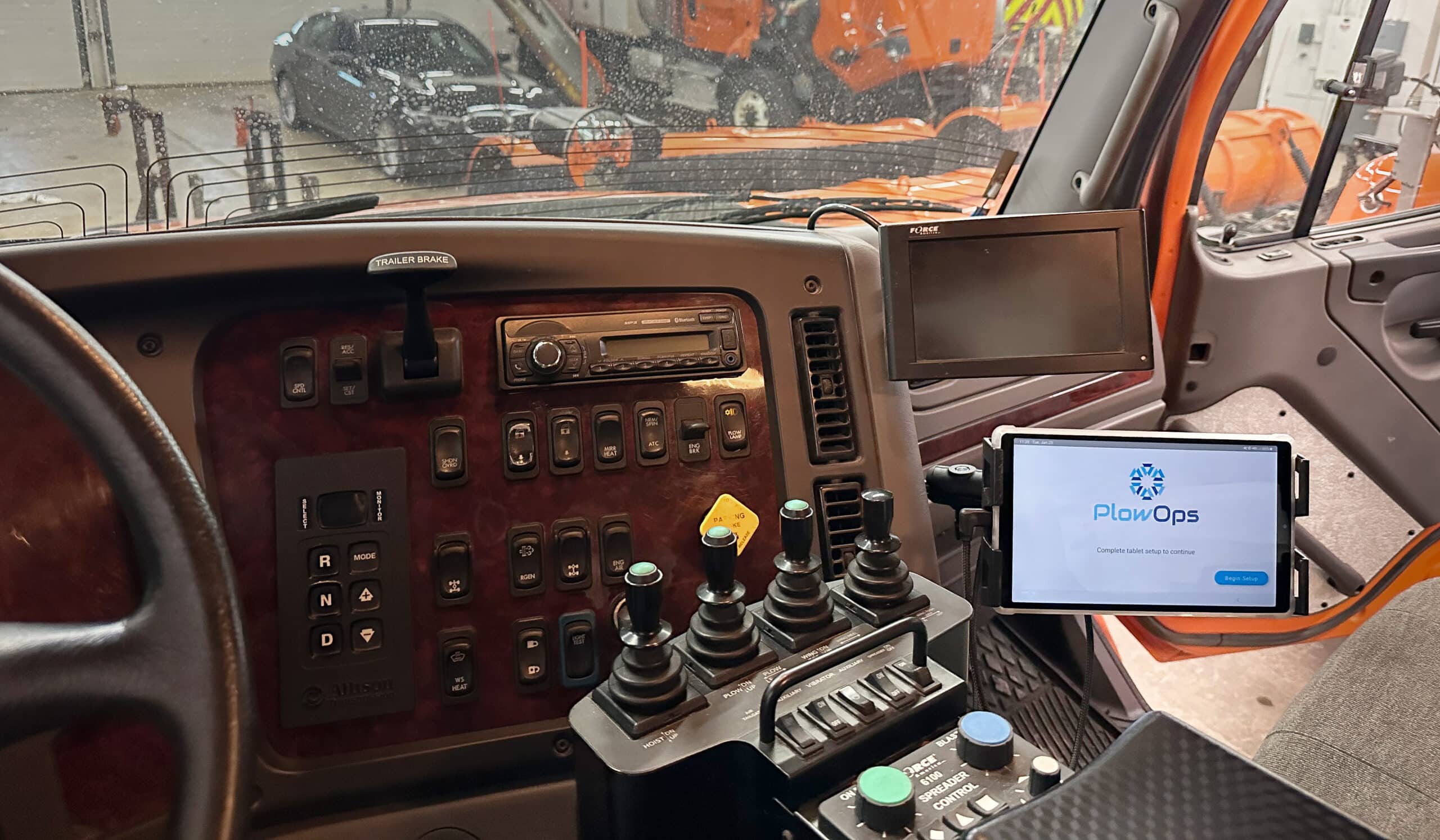
Route intelligence starts here
PlowOps is a rich ecosystem of features and functionality dedicated to both sides of snow removal operations, those in the office and those in the field. Whether you’re at a desk, keeping your fleet on track, or in the cab moving snow, PlowOps has features that will transform the way you conduct operations.
Features for supervisors
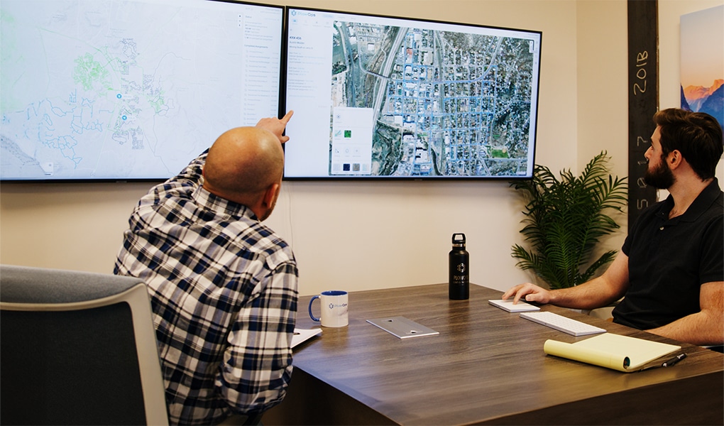
Supervisors will find our intuitive yet powerful web dashboard makes it much easier to task the fleet and keep track of their progress.
Know the location of all vehicles at all times, visually distributed on a map, along with current blade and material spreading status.
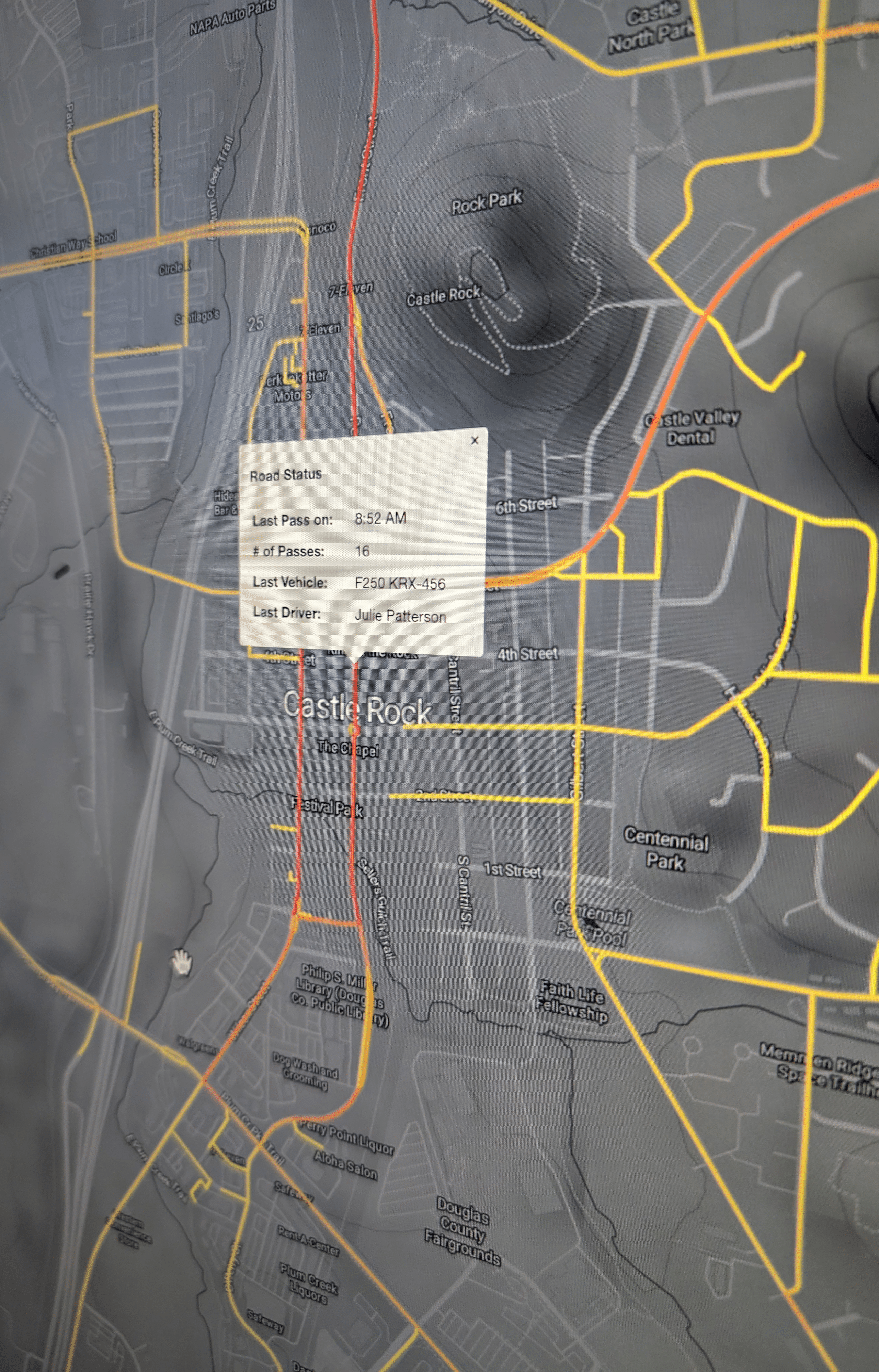
Use shift lookup to view and analyze each vehicle’s history, for both better decision making during storms and better strategizing between storms to optimize routing. Respond to citizen requests with exact times their street was cleared.
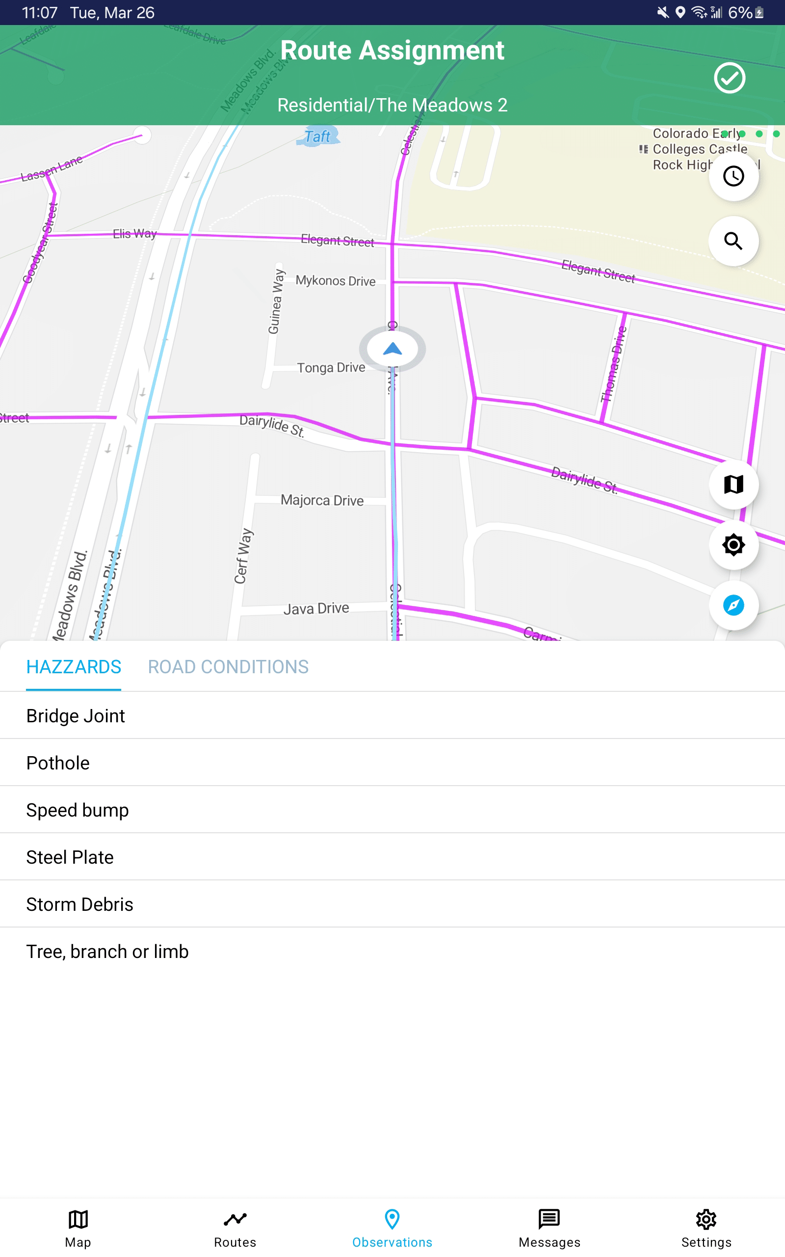
Easily assign routes to drivers, both at the beginning of their shift and while they are out in the field. Route assignments are queued by your assigned priority. Send a message to let them know if their route assignment has changed.
Simplify environmental clean-up of materials with better data on where material has been spread. Later, analyze and optimize material usage after storms and after a full season.
Communications are much easier with PlowOps. Reduce reliance on radio communications by having important messages sent directly to drivers. For safety, PlowOps requests vehicles come to a stop before a driver can read a message, or they can tap the “text to speech” button to have the message read to them on the move.
Watch and analyze route clearing data in real time, so you can adjust as the storm changes to ensure primary routes are appropriately prioritized, while ensuring no secondary or tertiary routes slip through the cracks.
PlowOps’ AVL+ empowers you to see, assign and manage all of your community’s routes by priority. Drill down to individual routes to see a pass count map (how many times it’s been cleared and treated), time map (when it was last serviced), and past assignment (by which drivers).
Incorporate dash cameras to get live views from every vehicle, and on device recording if needed.
You can also set up a public portal on your website, and choose what information you want to display to the public, using a time delay you dictate. For example, you might publicly display pass cout and time maps, so they can see where you’ve been.
Respond to citizen inquiries by looking up specific addresses to see every pass you’ve made, which vehicles, drivers, time, speed and equipment status.
Layer NWS warnings and live weather radar so you and your team can respond to the specific, localized needs of your community.
Live traffic layering empowers you to route drivers around road blockages and closures, so you can keep moving and clearing.
Features for drivers
Operators will now have the knowledge and power to more efficiently service their routes and provide feedback.
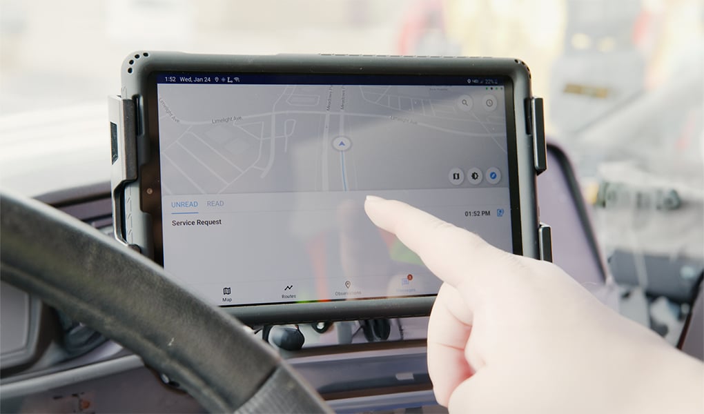
Ditch the antiquated paper maps and use live digital maps that display exactly where you are and where you’re going, with your route assignment color coded for you to easily follow.
Receive route assignments digitally, on the go. By the time you climb in the cab, your first assignment is already waiting for you. Your route assignments are listed in order of priority: when you’ve finished a route, no need to call in for a new assignment; simply mark your route complete and your next assignment automatically appears..
Communications are much easier with PlowOps. Reduce reliance on radio communications by having important messages sent directly to you. Bring your vehicle to a stop to reach the message, or tap the “text to speech” button to have it read to you on the move.
You’re the eyes and ears of your organization. When you see something, take action: Stranded vehicle? Debris on the road? High bridge joint? Damaged sign? Drop an observation. Easy!
Every snowfigher that comes along the road will see every observation that has already been dropped, so you can avoid dangers.
There are times when you’ll want to see where the rest of your team is. We make it easy to not only see where other drivers in the fleet are, but also where they have been.
Layer NWS warnings and live weather radar so you can be ready for anything mother nature throws your way. .
Live traffic layering empowers you to avoid road blockages, slowdowns and closures, so you can keep moving and clearing.
Click through on any route to see a pass count map (how many times it’s been cleared and treated), time map (when it was last serviced), and past assignment (by which drivers).
Powering smarter route optimizations
Experience AVL+ only with PlowOps
Ordinary fleet tracking systems (AVLs) offer no value to drivers, and supervisors have no data or control to strategize routing. PlowOps was built to provide everything the modern snowfighter needs in a single SaaS platform.
